If you have the tank monitoring equipment and would like to get notifications or App access please contract the Energy Department at 320-568-2126 You can start by download the App in your app store - type: NEE-VO
On grower 360 you can now pay your bills online! Automatically taken out of your checking account is free and credit card payments there will be a 3% charge. Any questions please call the office and we can help you set it up.
We now offer online access to your account activity such as invoices, statements, scale tickets, etc. To get your account activated please call 320-568-2127 and Brenda or Erin will set it up. The online portal is called grower360 and can be found at https://bfe.grower360.net/sign-in
This link needs to be opened in google chrome.
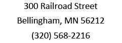
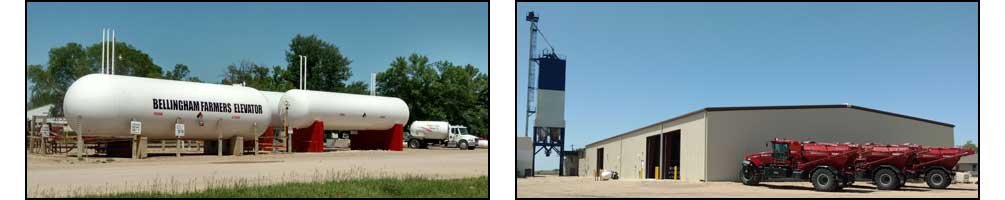
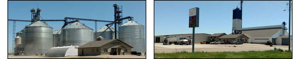
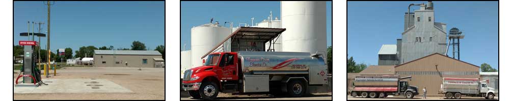
Thank you for checking out our website! Full service Cooperative with Agronomy, Grain, Feed & Petroleum!
At the Iowa Renewable Fuels Summit on Thursday, E15 was the main topic of the day, though carbon pipelines also had their moment, along with the 45Z tax credit and the unrealized prospects of both maritime and sustainable aviation fuels.