0
0
0
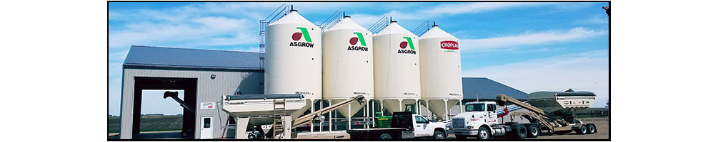
          BELLINGHAM FARMERS ELEVATOR  
County Forecast for Bellingham , MN
Change Zip Code: 
 
181000-
Lac Qui Parle-
Including the city of Madison
932 PM CST Wed Dec 17 2025

..wind advisory in effect from 9 am to 6 pm cst thursday   
Rest of tonight   Windy. Mostly cloudy. A 50 percent chance of rain in the late evening and early morning. Lows in the mid 20s. Temperatures rising into the mid 30s after midnight. Southwest winds 20 to 30 mph. Gusts up to 50 mph decreasing to 40 mph after midnight.
Thursday   Very windy. Colder. Patchy blowing snow in the morning. Cloudy with a 50 percent chance of snow. Highs in the upper 20s. Temperatures falling into the upper single digits in the afternoon. Northwest winds 30 to 40 mph with gusts to around 55 mph.
Thursday night   Windy. Much colder. Mostly clear. Lows around 2. Northwest winds 20 to 30 mph with gusts to around 45 mph becoming north up to 10 mph after midnight.
Friday   Mostly cloudy. Highs in the mid 20s. Southeast winds 5 to 15 mph with gusts to around 30 mph.
Friday night   Not as cold. Mostly cloudy. Lows around 17. South winds 5 to 10 mph shifting to the northwest after midnight.
Saturday   Partly sunny in the morning then clearing. Highs in the upper 20s.
Saturday night   Colder. Mostly clear. Lows around 6.
Sunday   Sunny. Highs in the upper 20s.
Sunday night   Not as cold. Mostly cloudy. Lows around 18.
Monday   Not as cold. Partly sunny. Highs in the lower 40s.
Monday night   Increasing clouds. Lows in the lower 20s.
Tuesday   Colder. Mostly sunny. Highs in the lower 30s.
Tuesday night   Mostly cloudy. Lows around 16.
Wednesday   Partly sunny. Highs in the mid 30s.
DTN Weather
Local Weather
Radar
County Forecast
State Forecast
DTN Weather Commentary
US Satellite
Current Surface Analysis
Wind Conditions
Today's Forecast Highs
Tonight's Forecast Lows
24 Hr Surface Forecast
Jet Stream Forecast
24 Hr Rainfall Estimate
24 Hr StormPath Accum
48 Hr StormPath Accum
6-10 Day Temp Forecast
6-10 Day Precip Forecast
Thunderstorm Outlook
US Drought Monitor
US Palmer Drought Index
US Crop Moisture Index
US Growing Degree Days
Soil Temperatures
Hurricane Tracking

DTN Weather Summary

Bryce Anderson image
Bryce Anderson – DTN Meteorologist
Big System Moving into Northern Plains, Canadian Prairies Wednesday

Strong winds, scattered showers for Canadian Prairies, Northern Plains. Snow near Canada border may push into U.S. Thursday. » More DTN Weather Commentary

Posted at 5:30AM Wed Dec 17, 2025 CST
Click here to get your local weather emailed to you each day.
Copyright DTN. All rights reserved. Disclaimer.
Powered By DTN