0
0
0
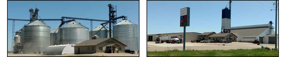
          BELLINGHAM FARMERS ELEVATOR  
County Forecast for Bellingham , MN
Change Zip Code: 
 
230900-
Lac Qui Parle-
Including the city of Madison
248 PM CDT Tue Apr 22 2025

Tonight   Sunny then becoming partly cloudy in the evening then becoming mostly cloudy. Lows in the mid 40s. West winds around 15 mph decreasing to 5 to 10 mph.
Wednesday   Mostly sunny. Highs in the mid 60s. Northwest winds 5 to 10 mph.
Wednesday night   Mostly cloudy. Lows in the lower 40s. North winds 5 to 10 mph.
Thursday   Mostly cloudy with a 50 percent chance of rain showers. Highs in the mid 50s. Northeast winds 5 to 15 mph.
Thursday night   Mostly cloudy. A 50 percent chance of rain showers in the evening. Lows in the lower 40s. Northeast winds 5 to 15 mph.
Friday   Mostly sunny. Highs in the mid 60s.
Friday night   Partly cloudy. Lows in the upper 30s.
Saturday   Partly sunny. Highs in the mid 60s.
Saturday night   Mostly cloudy. Chance of rain showers after midnight. Lows in the upper 40s. Chance of showers 40 percent.
Sunday   Mostly cloudy with chance of rain showers. Highs in the lower 70s. Chance of showers 50 percent.
Sunday night   Rain showers likely and chance of thunderstorms in the evening, then rain showers likely after midnight. Lows in the upper 50s. Chance of precipitation 60 percent.
Monday   Partly sunny with a 50 percent chance of rain showers. Highs around 80.
Monday night   Partly cloudy with a 50 percent chance of rain showers. Lows in the lower 50s.
Tuesday   Cooler. Partly sunny with a 40 percent chance of rain showers. Highs in the upper 60s.
DTN Weather
Local Weather
Radar
County Forecast
State Forecast
DTN Weather Commentary
US Satellite
Current Surface Analysis
Wind Conditions
Today's Forecast Highs
Tonight's Forecast Lows
24 Hr Surface Forecast
Jet Stream Forecast
24 Hr Rainfall Estimate
24 Hr StormPath Accum
48 Hr StormPath Accum
6-10 Day Temp Forecast
6-10 Day Precip Forecast
Thunderstorm Outlook
US Drought Monitor
US Palmer Drought Index
US Crop Moisture Index
US Growing Degree Days
Soil Temperatures
Hurricane Tracking

DTN Weather Summary

Bryce Anderson image
Bryce Anderson – DTN Meteorologist
Central and Southern Plains Lighting Up with Thunderstorms Into Wednesday
Posted at 12:12PM Tue Apr 22, 2025 CDT
Click here to get your local weather emailed to you each day.
Copyright DTN. All rights reserved. Disclaimer.
Powered By DTN