0
0
0
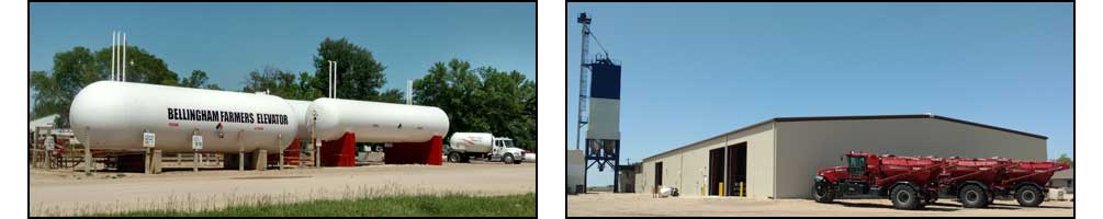
          BELLINGHAM FARMERS ELEVATOR  
State Forecast for Bellingham , MN
Change Zip Code: 
 
526
FPUS63 KMPX 301030
SFTMN
STZ000-302200-
Tabular State Forecast for Minnesota
National Weather Service Twin Cities/Chanhassen MN
529 AM CDT Wed Apr 30 2025
ROWS INCLUDE...
Daily predominant daytime weather 6AM-6PM
Forecast temperatures...early morning low/daytime high
Probability of precipitation nighttime 6PM-6AM/daytime 6AM-6PM
- indicates temperatures below zero
MM indicates missing data
 
FCSTFCSTFCSTFCSTFCSTFCSTFCST
TodayThuFriSatSunMonTue
Apr 30May 01May 02May 03May 04May 05May 06
...NORTHERN MINNESOTA...
Baudette
MocldyMocldySunnySunnySunnySunnyPtcldy
/6343/5535/5540/7146/7856/7550/67
/4040/2020/1000/0000/0010/2030/20
Park Rapids
PtcldyShwrsPtcldySunnySunnySunnyPtcldy
/6945/6036/5736/6945/7753/7650/69
/1070/7040/1000/0000/0000/2030/20
Bemidji
PtcldyShwrsPtcldySunnySunnySunnyPtcldy
/6642/5633/5435/6944/7552/7348/66
/1070/5030/1000/0000/0000/2030/20
Duluth
SunnyRainPtcldySunnySunnySunnyPtcldy
/6041/5736/5134/6543/6846/7349/69
/0020/8080/2010/0000/0000/1030/30
International Falls
PtcldyRainPtcldySunnySunnySunnyPtcldy
/6242/5333/5334/6843/7553/7448/66
/4070/5040/1000/0000/0000/2030/30
...CENTRAL MINNESOTA...
Alexandria
SunnyShwrsPtcldySunnySunnySunnyPtcldy
/7047/6039/5738/6949/7855/7854/74
/0040/6040/1000/0000/0000/1030/20
Brainerd
PtcldyRainPtcldySunnySunnySunnyPtcldy
/6945/6138/5837/7046/7754/7752/72
/0040/7060/2010/0000/0000/1030/30
St. Cloud
SunnyShwrsPtcldySunnySunnySunnyPtcldy
/6845/6141/5837/7047/7854/7954/77
/0010/7070/1000/0000/0000/1030/30
Minneapolis
PtcldyShwrsPtcldySunnySunnySunnyPtcldy
/6849/6444/5941/7049/7855/7956/78
/1020/5050/1010/0000/0000/1020/20
Willmar
SunnyShwrsPtcldySunnySunnySunnyPtcldy
/7047/6341/6039/7149/7955/8055/77
/0020/5050/1000/0000/0000/1030/20
Ortonville
SunnyShwrsPtcldySunnySunnySunnyPtcldy
/7449/6241/6038/7449/8155/8053/75
/0060/6030/1000/0000/0000/2030/20
...SOUTHERN MINNESOTA...
Mankato
PtcldyShwrsPtcldySunnySunnySunnyPtcldy
/6748/6343/6040/7049/7754/7955/78
/1020/5050/1010/0000/0000/1020/20
Rochester
PtcldyMocldyPtcldySunnySunnySunnyPtcldy
/6448/6143/5737/6646/7350/7553/75
/1050/4040/2020/0000/0000/1010/20
Worthington
PtcldyShwrsPtcldySunnySunnySunnyPtcldy
/6647/6341/6238/7147/7651/7752/76
/2020/5020/2010/0000/0010/1020/30
Marshall
PtcldyShwrsPtcldySunnySunnySunnyPtcldy
/7047/6541/6140/7350/7954/7954/75
/0020/5020/2000/0000/0000/1020/20
$$
DTN Weather
Local Weather
Radar
County Forecast
State Forecast
DTN Weather Commentary
US Satellite
Current Surface Analysis
Wind Conditions
Today's Forecast Highs
Tonight's Forecast Lows
24 Hr Surface Forecast
Jet Stream Forecast
24 Hr Rainfall Estimate
24 Hr StormPath Accum
48 Hr StormPath Accum
6-10 Day Temp Forecast
6-10 Day Precip Forecast
Thunderstorm Outlook
US Drought Monitor
US Palmer Drought Index
US Crop Moisture Index
US Growing Degree Days
Soil Temperatures
Hurricane Tracking

DTN Weather Summary

Bryce Anderson image
Bryce Anderson – DTN Meteorologist
Southern Plains Through Midwest Staying Active Wednesday

Shower, thunderstorms and possible severe weather from the Southern Plains to the eastern Great Lakes. » More DTN Weather Commentary

Posted at 12:03PM Tue Apr 29, 2025 CDT
Click here to get your local weather emailed to you each day.
Copyright DTN. All rights reserved. Disclaimer.
Powered By DTN